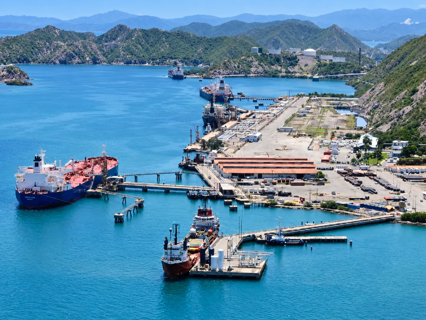
Dredging of Bergantín Bay — West Area of Dock #7 (Area D2), Guaraguao Maritime Terminal
Project sheet
- Sector
- Marine
- Client
- I.N.C. (PDVSA)
- Location
- Puerto La Cruz, Anzoátegui, Venezuela
- Year
- 2002
- Investment
- Bs. 2,300,000,000 / US$ 2,300,000
- Vialpa Role
- Precision marine dredging
Project overview
Dredging of the west area of Dock #7 (Area D2) of Bergantín Bay at the Guaraguao Maritime Terminal. The activity involved dredging 135,000 cubic meters of sand and coral. Specific requirements included discharging the dredged material 18 km from the dredging area, not interfering with the operations of the maritime terminal, and using a GPS satellite positioning system for both dredging and material discharge. Contract duration: 2 months.
The Challenge
Execute dredging inside an operational maritime terminal, without interfering with the dock's manoeuvres and loading operations, while transporting the dredged material 18 km from the site and maintaining precision control through GPS satellite positioning.
Vialpa Scope
Dredging of 135,000 m³ of sand and coral in the west area of Dock #7 (Area D2), transport and discharge of material 18 km from the dredging area, use of GPS satellite positioning system for dredging and disposal operations, and operational coordination with the terminal to avoid interference.
Engineering / Construction Approach
Precision satellite control for dredging and disposal operations, coordinated with the terminal to maintain operational continuity. The 18 km discharge ensured environmental management of the dredged material without affecting active port operations.
Operational Constraints
No interference with maritime terminal operations during dredging. Discharge of dredged material 18 km from the work area. Mandatory use of GPS satellite positioning for dredging and disposal.
Technical Highlights
- Dredging of 135,000 m³ of sand and coral in the west area of Dock #7 (Area D2)
- Discharge of dredged material 18 km from the dredging area
- Executed without interfering with maritime terminal operations
- GPS satellite positioning system for dredging and disposal
Key Quantities
Photographic archive and field execution
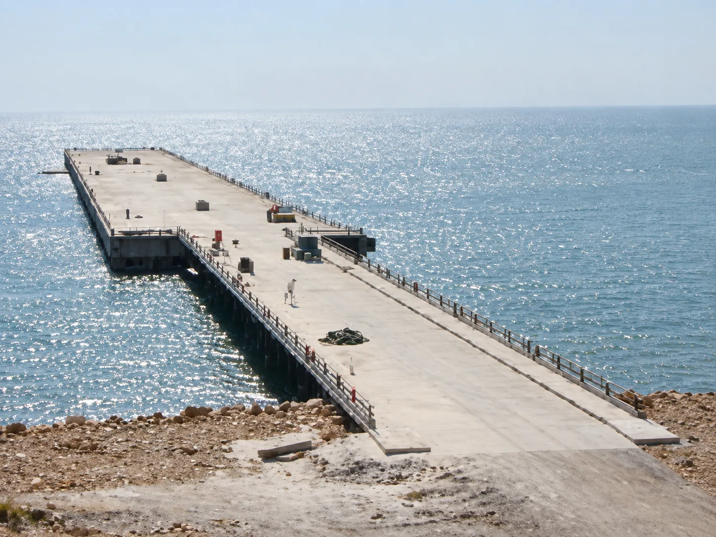
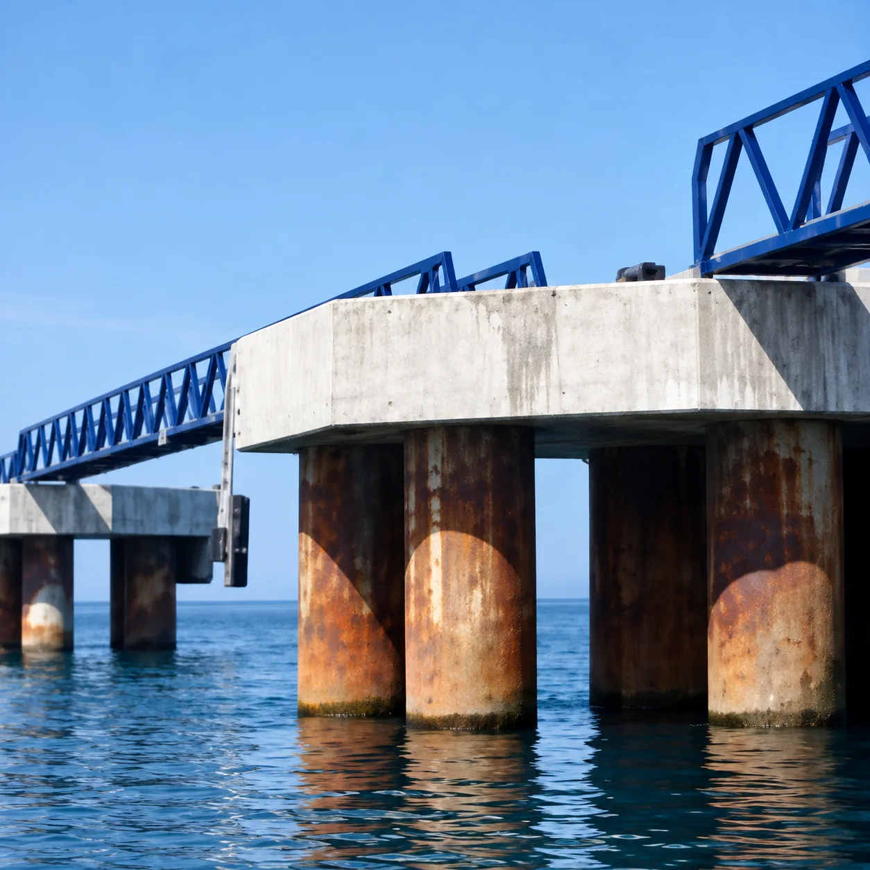
Original photographic field documentation of road execution, structures, concrete barriers and earthmoving by Constructora Vialpa.
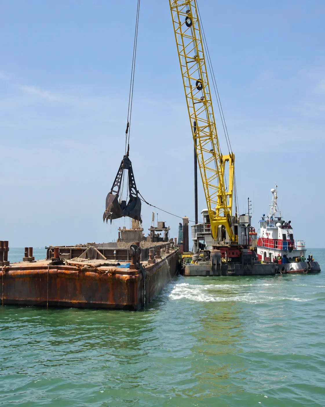
Marine dredging operation with clamshell dredge on pontoon, tugboat and hopper barge for material discharge 18 km offshore
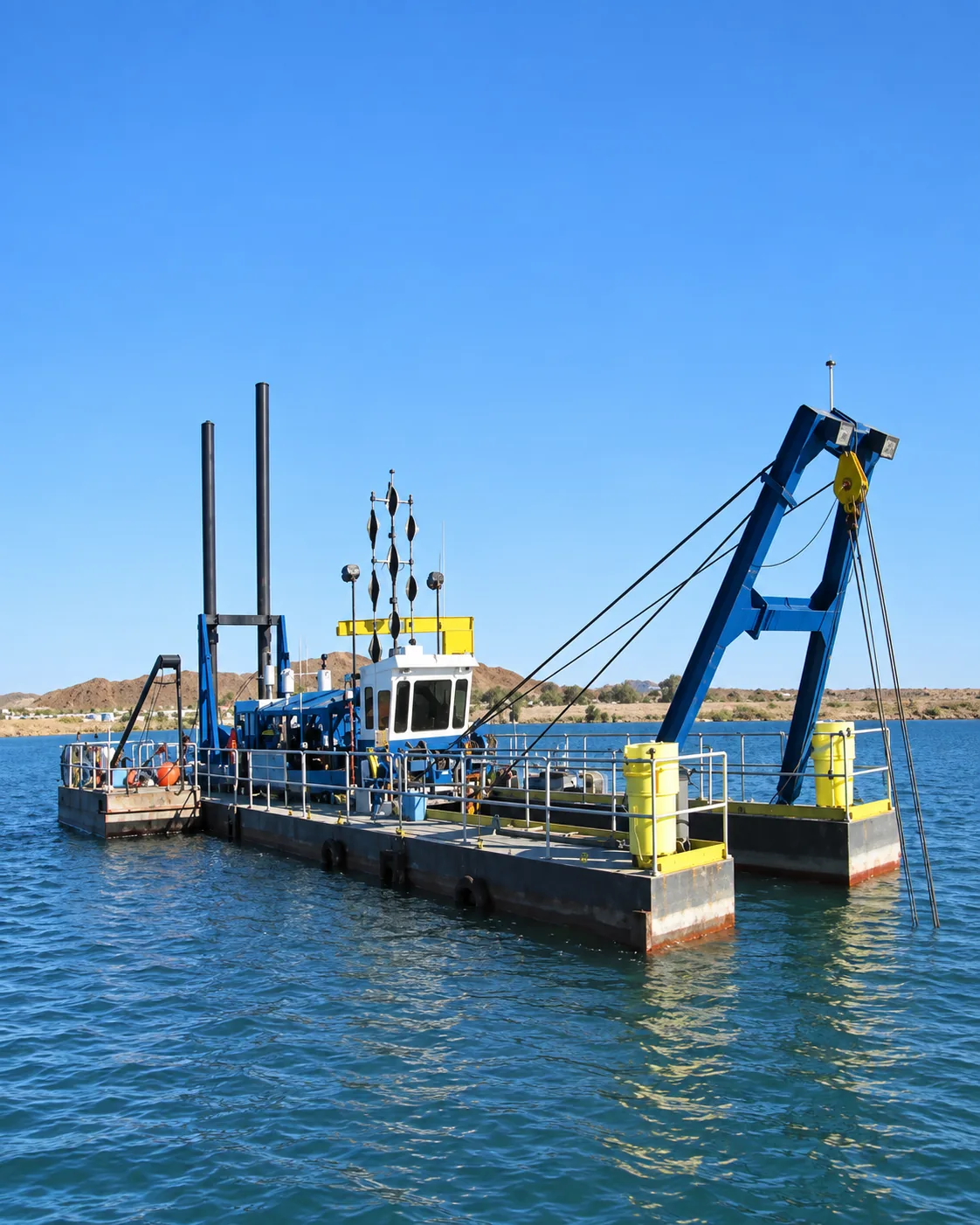
Specialized naval dredging equipment with GPS satellite positioning and spud pontoon for precision marine works in Bergantín Bay