Ciudad Zamora Development — Deforestation and Earthworks, Stage I
Project sheet
- Sector
- Industrial
- Client
- FONDUR (Fondo Nacional de Desarrollo Urbano) — Programa Nacional de Emergencia Habitacional
- Location
- Cúa, Miranda State, Venezuela
- Year
- 2002
- Vialpa Role
- Deforestation, earthworks and site platform conditioning
Project overview
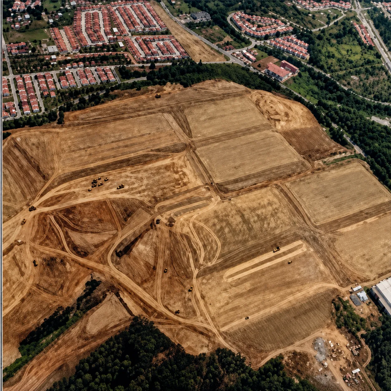
Part of the National Housing Emergency Program (Decree No. 577, December 15, 1999). The Ciudad Zamora Housing Development will build 15,000 homes over an area of 124 hectares. Phase I earthworks (44 hectares) were completed in February 2002. During the eight months of the first stage, 45 hectares were deforested and approximately 1,800,000 cubic meters of earth were moved.
The Challenge
Prepare a large-scale platform for a massive housing development, executing deforestation and the movement of 1.8 million cubic meters of earth within an eight-month schedule.
Vialpa Scope
Deforestation of 45 hectares, movement of approximately 1,800,000 m³ of earth, and grading of the 44-hectare platform corresponding to Phase I of the development.
Engineering / Construction Approach
Intensive deployment of heavy earthmoving equipment to execute deforestation and platform grading within the schedule established by the housing program.
Operational Constraints
Execution within the framework of Decree No. 577 of the National Housing Emergency Program, with defined deadlines for platform delivery.
Technical Highlights
- 15,000 homes planned over 124 hectares
- Phase I earthworks: 44 hectares
- ~1,800,000 m³ of earth moved in eight months
- 45 hectares deforested during the first stage
Key Quantities
Photographic archive and field execution
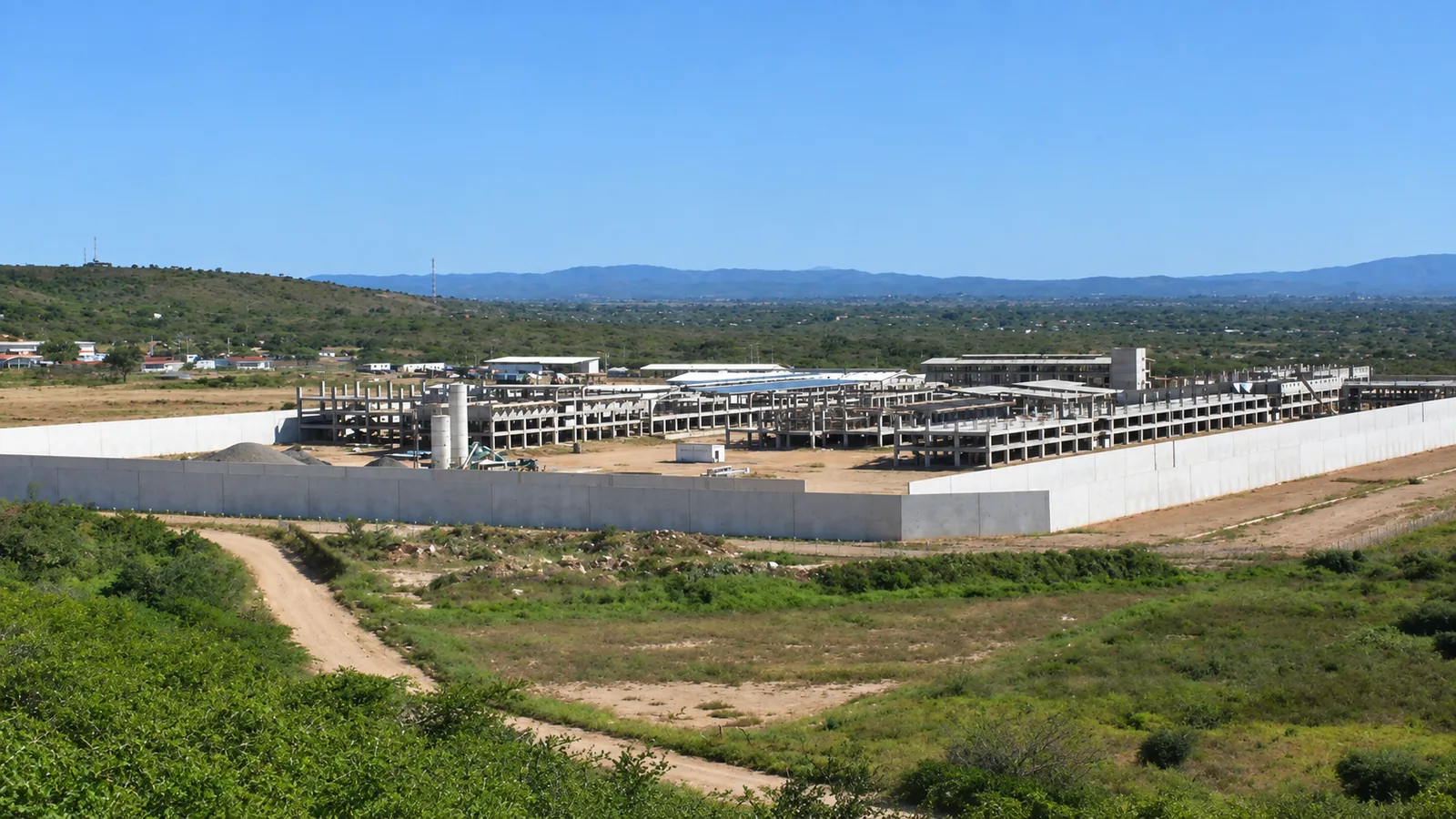
Original photographic field documentation of road execution, structures, concrete barriers and earthmoving by Constructora Vialpa.
Overhead aerial view of the graded platforms (44 hectares) and earthmoving work fronts for Stage I of Ciudad Zamora
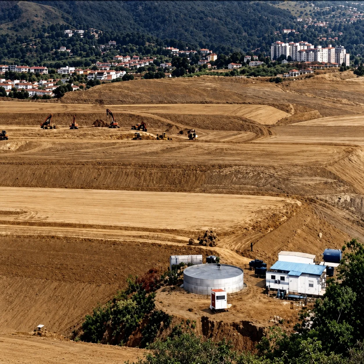
Perspective of terrace grading, heavy excavation machinery deployment, and field support camp infrastructure
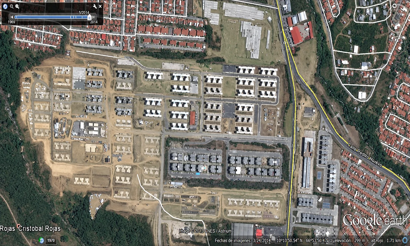
Satellite aerial overview showing the urban layout, road network, and residential blocks built over the prepared platforms in Ciudad Zamora